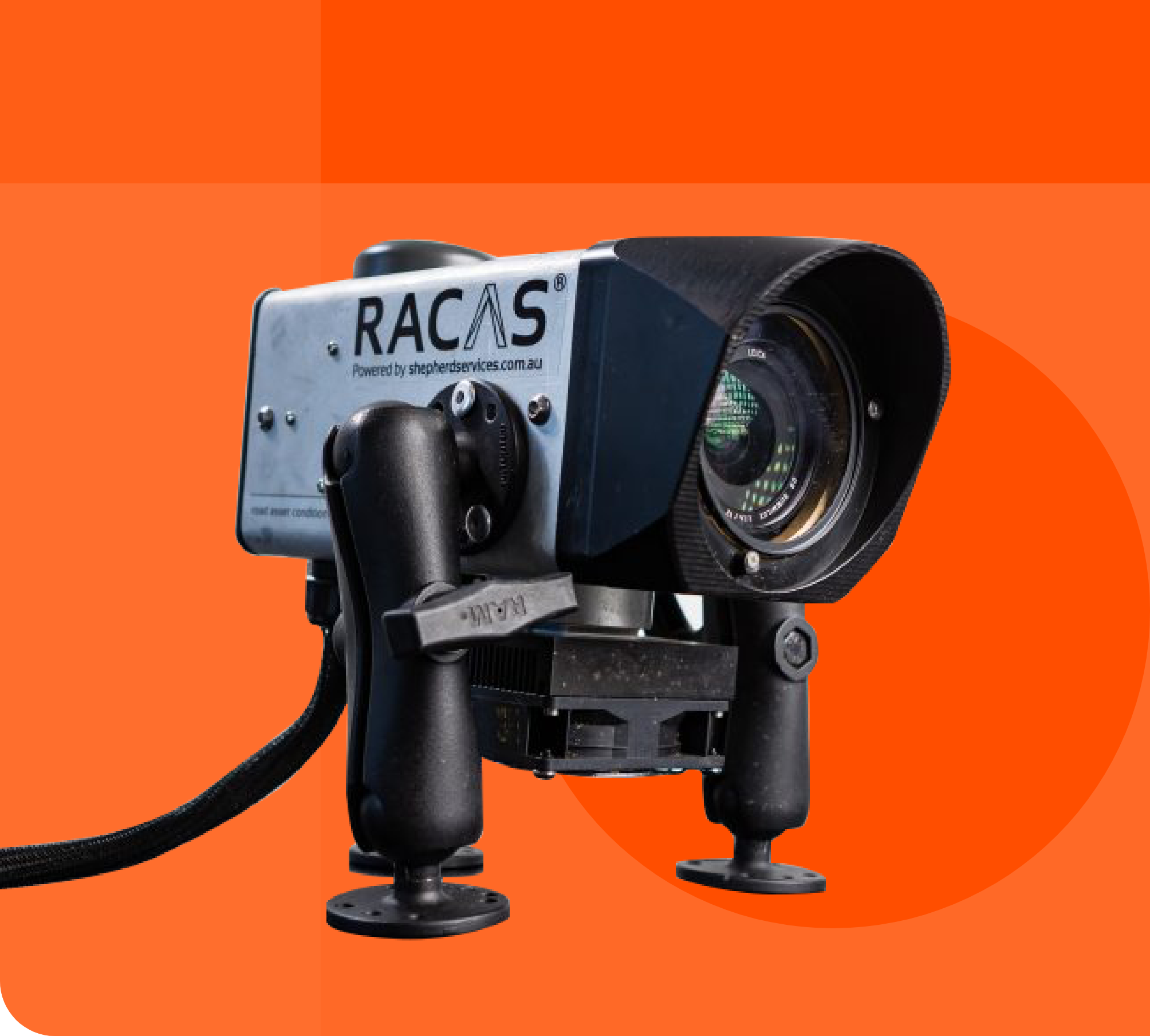
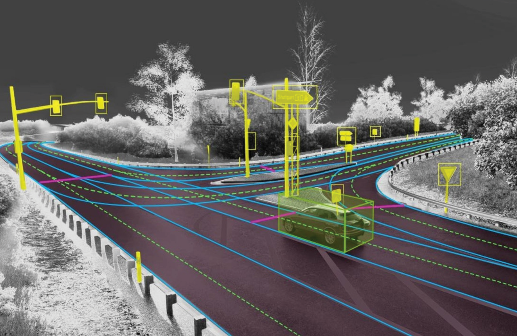
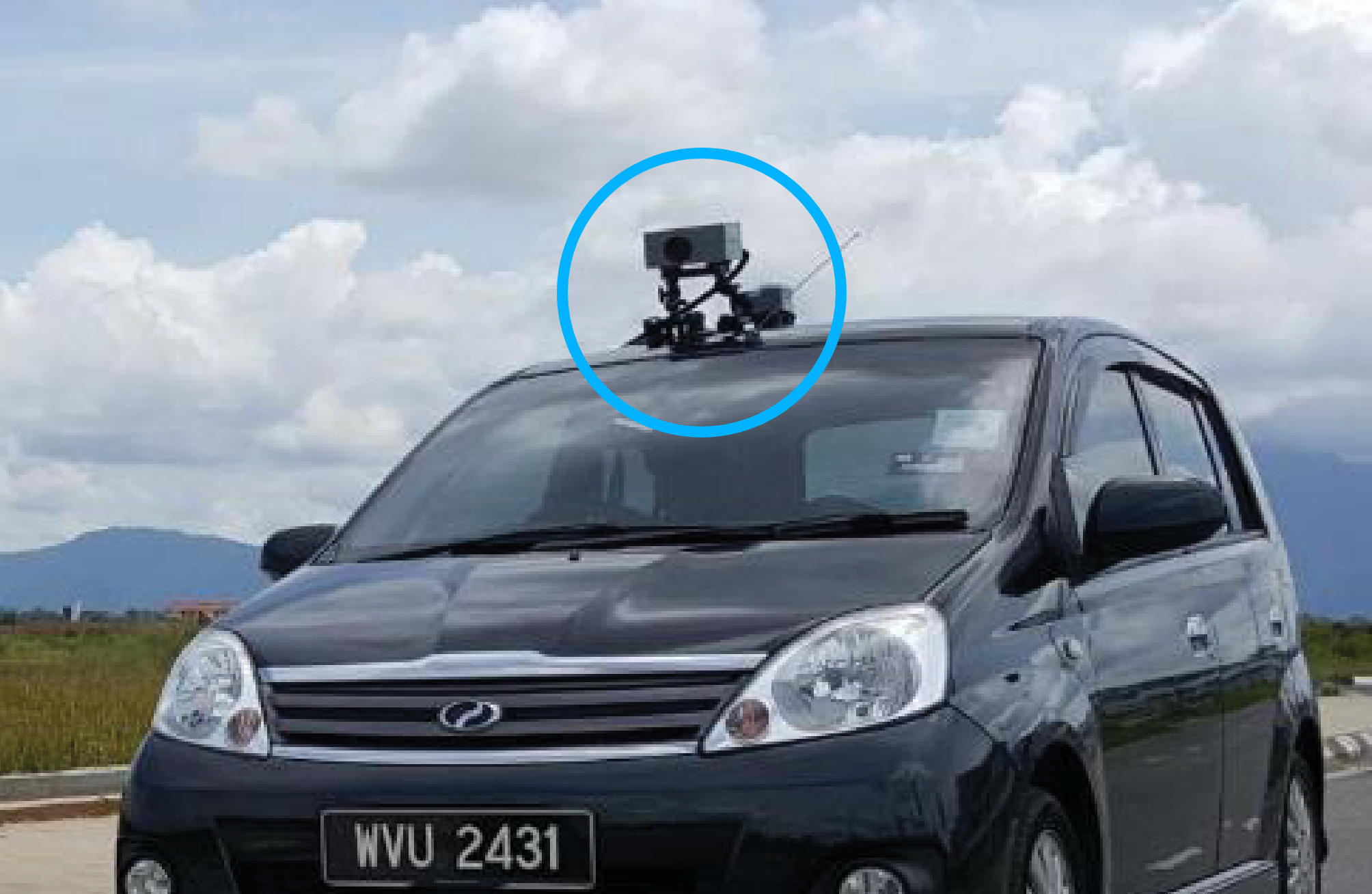
Our Digital Road Mapping and Assessment System delivers a comprehensive, data-driven view of road conditions and overhead infrastructure. Powered by RACAS methodology, it captures high-definition visual and spatial data for detailed assessment, playback, and condition comparison over time—enabling early issue detection, smarter maintenance planning, improved safety, and more informed infrastructure investment decisions.


Transforms high-definition visual and spatial data into actionable insights that support informed maintenance planning. With HD playback and time-based comparison, organizations can track deterioration, measure improvements, assess maintenance impact over time, improve safety outcomes, and optimize infrastructure investment decisions with greater confidence.
Combines high-definition visual and spatial data capture with RACAS assessment principles to deliver accurate, structured, and consistent evaluation of road surfaces and overhead infrastructure. This enables reliable condition analysis, meaningful comparisons over time, and more confident maintenance and planning decisions.
